
A Narrow Brief
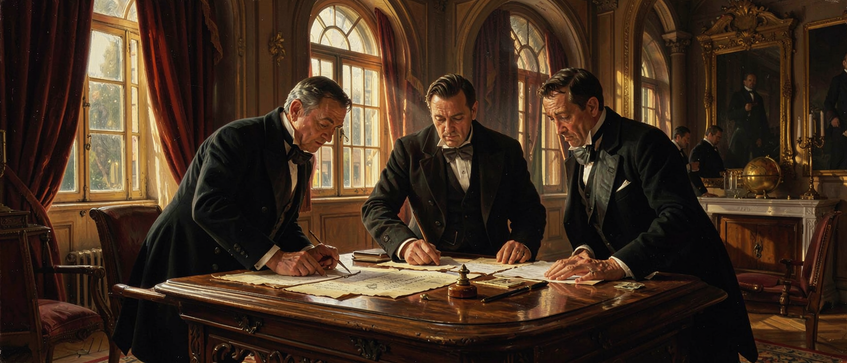
In early 1803, two American diplomats sat down in Paris with a ceiling on what they were permitted to discuss. Robert R. Livingston had been serving as American minister to France since December 1801. James Monroe arrived on April 12, 1803, sent by President Thomas Jefferson as a special envoy with one task: strengthen the effort to secure American access to New Orleans and West Florida. Their combined authorization ran to a maximum of $10 million, not a dollar more, and not a square foot of territory beyond the lower Mississippi corridor.
Across from them sat Charles-Maurice de Talleyrand-Périgord, France’s Minister of Foreign Relations, and François, Marquis de Barbé-Marbois, the Minister of the Public Treasury and Napoleon Bonaparte’s designated plenipotentiary. Napoleon, then serving as First Consul, was not at the table. The decisions were ultimately his.
What New Orleans Was Worth
The American fixation on New Orleans was not sentimental. By 1803, the city was the only practical exit for goods produced across the American interior west of the Appalachians. Farmers and merchants along the Ohio and Mississippi river systems had no viable overland route to Atlantic seaports; the current ran south, and New Orleans sat at the mouth of it.
The problem had sharpened since October 1800, when Spain returned Louisiana to France under the Third Treaty of San Ildefonso. France under Napoleon was a different proposition from Spain as a neighbor. The prospect of a major European power controlling American river commerce was the pressure behind Jefferson’s instructions. Buying the port, or securing treaty rights to use it, was the objective. Buying anything else was not part of the conversation.
Napoleon Moves the Table
On April 11, 1803, one day before Monroe set foot in Paris, Talleyrand put a question to Livingston that the American had no authority to answer: what would the United States pay for all of Louisiana? Not New Orleans alone. All of it.
Three converging pressures appear consistently across the sources. The French military campaign in Saint-Domingue (present-day Haiti) had collapsed, the army decimated by yellow fever and a slave revolt; without Saint-Domingue as a base, Louisiana’s strategic value to France was sharply diminished. War with Britain was imminent again, meaning Louisiana would likely fall to the Royal Navy in any case, while cash would not. And Napoleon needed funds for his European campaigns. His own written deliberations on the sale are sparse; the relative weight he assigned each factor is not documented.
Livingston and Monroe were being asked to commit the United States to a purchase one and a half times their authorized ceiling, for territory they had no instructions to acquire.
May 2, 1803
The documents were officially dated April 30, 1803, but the physical signing took place on May 2. Livingston and Monroe put their names to the treaty in Paris; Barbé-Marbois signed for France. The agreed price was $15 million: $11,250,000 payable directly to France, and $3,750,000 set aside to settle existing financial claims American citizens held against the French government.
Neither envoy had explicit authorization for a purchase of this scale. Both signed on the judgment that the offer would not return. The U.S. Senate ratified the treaty on October 20, 1803, by a vote of 24 to 7. On December 20, 1803, France formally transferred authority over the territory in New Orleans; the French tricolor was lowered and the American flag raised.
What It Actually Cost
Once all interest payments on the bonds used to finance the purchase were resolved, the cumulative total came to an estimated $27,267,622. Divided across 530 million acres, the per-acre cost works out to between three and four cents. Britannica puts it at less than three cents using the base price; the National Archives cites roughly four cents when total cost including interest is used. The discrepancy depends entirely on which number serves as the denominator.
The official National Archives figure is 828,000 square miles; the Library of Congress, accounting for boundary uncertainties, estimates between 850,000 and 885,000. What is not in dispute is the scale: the acquisition approximately doubled the territorial extent of the United States. From that land, 15 present-day states were eventually formed in whole or in part, among them Arkansas, Iowa, Missouri, Nebraska, Oklahoma, and portions of Montana, Wyoming, Colorado, North Dakota, South Dakota, and Minnesota.
The Record’s Silences
The treaty transferred a legal claim between two governments. France held sovereignty over Louisiana under European law and sold it to the United States. What neither government addressed was that the territory was already home to Indigenous nations whose land it was by any measure of their own law. They were not consulted, not represented, and not compensated.
The three-to-four-cents-per-acre figure is accurate within the frame it describes. What that frame included, and what it left out entirely, are separate accounting problems. The second remains open.