
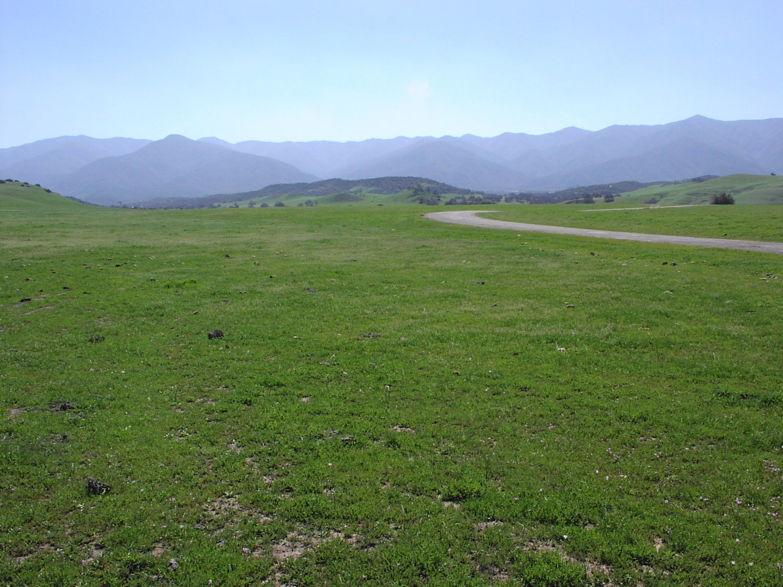
The Sierra Madre Mountains form a compact but ecologically significant range occupying the northern part of Santa Barbara County and extending into the northwestern corner of Ventura County in Southern California. They mark the southernmost reach of the California Coast Ranges, themselves part of the broader Pacific Coast Ranges of western North America. To the southeast, the Sierra Madre knits into the San Rafael Mountains of the Transverse Ranges through a tangle of unnamed ridges, a meeting point that includes Big Pine Mountain, the highest summit in Santa Barbara County at 6,820 ft (2,079 m). The range sits entirely within the Los Padres National Forest, which shelters 468 wildlife species and more than 1,200 plant species, a total that exceeds any other national forest in California.
Key facts
- Country: United States
- Type: mountain range
- Located in: California
- Coordinates: 34.9022, -119.8587
- Elevation: 1.8 km
Geography and Terrain
The Sierra Madre range belongs to the Inner South Coast Ranges group, placing it on the inland side of the Coast Range system rather than along the ocean edge. Its northern slopes and the drainages that feed the Cuyama River are covered by chaparral, sage, and pinyon. The terrain shifts character dramatically from one side to the other: the southern flank drains into the Sisquoc River, which cuts through the San Rafael Wilderness for 31 of its 33 designated Wild and Scenic River miles.
Where the range meets the San Rafael Mountains to the southeast, the topography grows complicated enough that no single named range defines it. Big Pine Mountain, at 6,820 ft (2,079 m), rises at this junction and holds the elevation record for the entire county. The range’s highest general elevation is recorded at approximately 1.8 km.
Ecology and Wildlife
The Los Padres National Forest, which encompasses the Sierra Madre, supports more species at risk of extinction than any other national forest in California, with over 90 such species among its fauna and flora. That count sits against a backdrop of 468 wildlife species and more than 1,200 plant species recorded across the forest.
Lion Canyon, on the northern slopes of the Sierra Madre, holds a particular place in California conservation history as one of the first release sites for California Condors. The canyon also contains massive sandstone outcrops that make it geologically distinctive within the range. On the southern flank, the Sisquoc Condor Sanctuary, established in 1937 within the San Rafael Wilderness, added another layer of protection to condor habitat in the area.
Human History
The high meadows, called potreros, along Sierra Madre Ridge above the Sisquoc River were gathering grounds for the Chumash and other tribes. These groups came for annual gatherings and solstice rituals, though the area never sustained year-round Native American settlements.
Federal protection of the landscape began with President William McKinley’s establishment of the Pine Mountain and Zaca Lake Forest Reserve in 1898. The reserve later became the Santa Barbara National Forest, which President Franklin D. Roosevelt renamed the Los Padres National Forest in 1936.
In the 1880s, the San Rafael Wilderness adjacent to the Sierra Madre attracted a group of around 200 faith healers who settled along the Sisquoc River under the leadership of Hiram Preserved Wheat. Their presence left a brief but documented mark on an area that had otherwise seen only seasonal indigenous use and later ranching.
Did you know
- The Sisquoc Condor Sanctuary, established in 1937 on the southern flank of the Sierra Madre within the San Rafael Wilderness, was named without using the word “condor.” At the time, the prevailing approach to condor preservation held that publicizing the bird’s presence would do more harm than good, so the name was crafted to reveal nothing. (watchbird-ojs-tamu.tdl.org)
- In the 1880s, roughly 200 faith healers settled along the Sisquoc River in the San Rafael Wilderness, the rugged area bordering the Sierra Madre, following a leader named Hiram Preserved Wheat. (peakvisor.com)
Data sources
Data updated: 2026-11-01