
What the Altimeter Saw
A radar altimeter sends a radio pulse straight down, waits for it to bounce back, and converts the round-trip travel time into a height reading. Pilots trust it the way they trust a fuel gauge.
Over glacial ice, the principle breaks. Certain radio frequencies pass through ice rather than reflecting off the surface, travel down through the glacier, and bounce back from the bedrock underneath. The altimeter does exactly what it was built to do, but the reading corresponds to the depth of ice below the aircraft, not the air gap between the aircraft and the surface. A pilot descending over a glacier could read two hundred feet of clearance while the actual clearance was far smaller, with hundreds of feet of frozen water accounting for the difference. The instrument was not malfunctioning; it was encountering a material its designers had never considered.
A Run of Accidents with the Same Signature
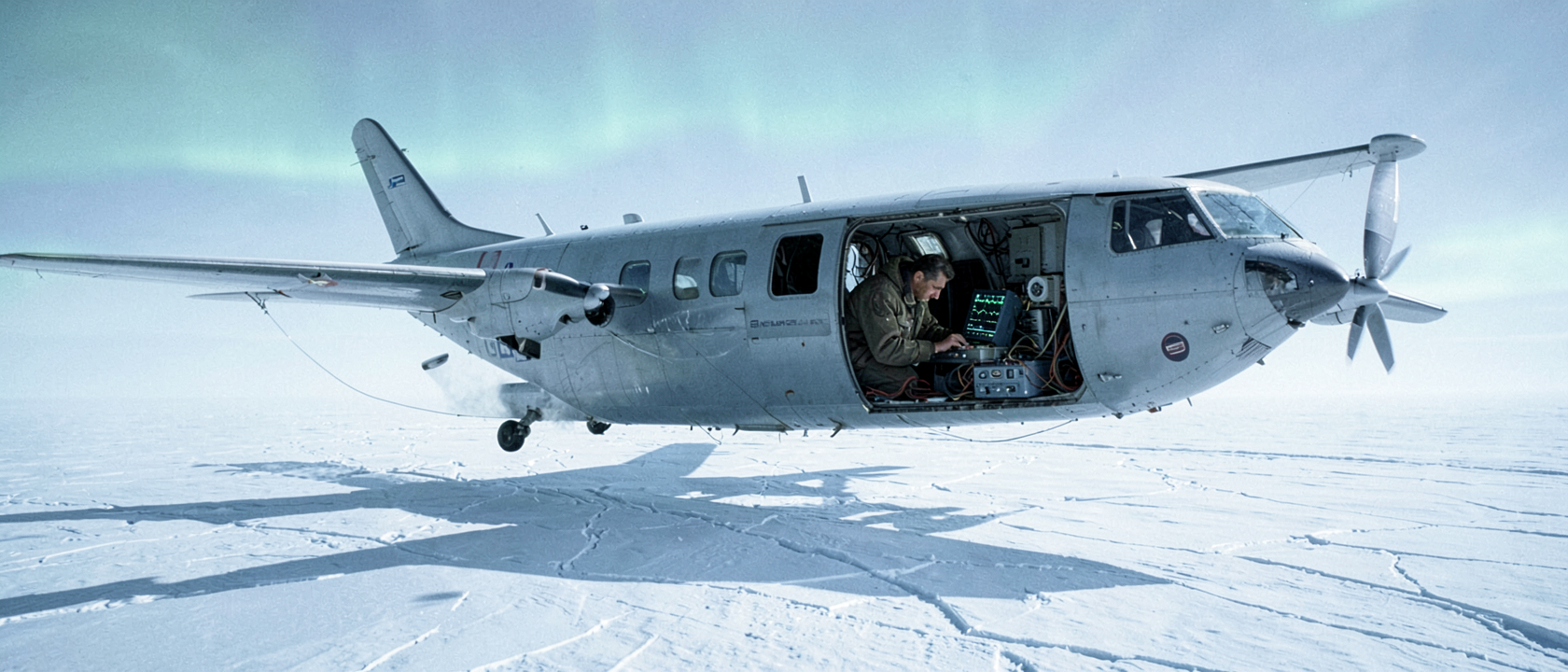
Across a series of Antarctic aviation accidents in the late 1950s, the pattern held: aircraft on descent, pilots reducing power as the altimeter told them the ground was close, and terrain closer than anyone on board had reason to expect. Nineteen people died across those incidents before the common cause was identified. That figure comes from historian Simone Turchetti and colleagues, writing in the British Journal for the History of Science in 2008.
The most documented single event occurred on December 24, 1959. A pilot, reading the altimeter, cut power in the belief that landing was imminent. The aircraft stalled and struck the surface. The pilot survived. Whether this crash was one of the nineteen fatal accidents or a separate survivable incident is not settled by the available sources. The U.S. Army Signal Corps investigated the crash series, identified the altimeter problem as its cause, and handed the engineering question to a man named Amory Waite.
The Engineer and the Physicist
The Army investigation had roots in crashes that preceded December 1959. It was from that earlier work, before the 1959 incident, that Waite drew his central insight: the defect could be inverted. If radio waves passed through glacial ice and returned from the bedrock below, a modified instrument could measure ice thickness rather than misreport altitude. In 1957, Waite and colleague S. J. Schmidt demonstrated this using a modified Army radar altimeter designated the SCR-718 (also rendered in some sources as the SGR-718). The operating frequency is disputed, one source gives 440 megahertz, another 140 megahertz, but the Waite and Schmidt paper published in the Proceedings of the Institute of Radio Engineers in June 1962 is the definitive reference. What the 1957 demonstration established was that airborne ice-thickness measurement was physically possible.
The same phenomenon surfaced independently through a completely different line of work. Stanley Evans, a British physicist at the Scott Polar Research Institute in Cambridge, was analyzing anomalous interference in aurora radar data when he found that radio signals were bouncing off the underside of sea ice. The implication was structurally identical to Waite’s: radio energy traveling through ice and returning from below could be used deliberately to measure from above.
In May 1962, the Royal Society’s Paul Instrument Fund gave Evans a first grant installment of £2,736 to build a purpose-built ice-sounding device, with a second installment of £1,555 following in October. Waite had arrived at the idea through an accident investigation; Evans through aurora research. The two men were working independently, each following a separate trail of evidence. In 1963, British and American glaciologists brought both instruments to Greenland and tested them side by side, confirming that radio echo-sounding was a workable science.
The Survey Takes Shape
An organizational framework already existed. The Scientific Committee on Antarctic Research, founded at its inaugural meeting in The Hague in February 1958 with twelve nations represented, and renamed from the Special Committee on Antarctic Research in 1961, had built the cross-national relationships a joint survey would require. Funding came from the U.S. National Science Foundation; institutional partners included the Scott Polar Research Institute and the Technical University of Denmark. Together, the three converted a Lockheed C-121 Super Constellation into an airborne laboratory equipped with the validated sounding instruments. Data returned from each flight as oscilloscope traces, photographed on board for later analysis.
Survey flights over Antarctica began in 1967. Lockheed C-130 Hercules aircraft joined the program as it expanded, and by 1969 what had started as an instrument demonstration had grown into a continental mapping effort.
Bedrock Beneath the Ice
Between 1967 and 1979, aircraft flew systematic transects across Antarctica, assembling a picture of the bedrock concealed beneath the ice sheet. By the end of the 1971–72 season alone, the program had completed an estimated 130,488 miles (210,000 kilometers) of radio echo profiling. Depth measurements carried an uncertainty of no more than plus or minus about 16 feet (5 meters), plus 1.5 percent of the measured depth, figures verified against seismic results for ice up to roughly 4,921 feet (1.5 kilometers) thick. The oscilloscope photographs became the primary dataset for understanding a landscape no observer had seen directly and that borehole drilling alone could never have mapped at continental scale.
The Instrument That Kept Traveling
Techniques derived from radio echo-sounding now fly aboard Earth-orbiting satellites monitoring polar ice, and versions of the same principle have been sent on planetary probes to sound ice and subsurface geology elsewhere in the solar system. The lineage from a faulty altitude instrument to those orbital and interplanetary systems is documented and direct.
The starting point for all of this predates every crash: in 1933, at Admiral Byrd’s base at Little America, Antarctica, came the first observation that snow and ice are transparent to high-frequency radio signals, and nothing was done with it. It took more than two decades, nineteen deaths, an Army investigation, an anomalous interference pattern in aurora data, two engineers working independently along separate lines of inquiry, an international institutional partnership, and over a decade of systematic survey flights to convert that initial observation into a working science.